
Blog
Environmental Permitting in South Louisiana: A Guide
Key Takeaways
- Environmental permitting in South Louisiana usually starts with one question: does the site contain wetlands or other waters regulated under the federal Clean Water Act?
- Work in jurisdictional wetlands requires a Section 404 permit from the U.S. Army Corps of Engineers, New Orleans District, plus a Section 401 water quality certification from the Louisiana Department of Environmental Quality (LDEQ).
- Many residential and commercial projects qualify for a Nationwide Permit, which is far faster than an Individual Permit, but only if wetland impacts stay small and the site layout is designed around that limit.
- A wetland delineation and environmental review before you close on land is the cheapest way to protect your budget and your schedule in Acadiana.
What Environmental Permitting in South Louisiana Involves
Environmental permitting in South Louisiana is the set of federal, state, and local approvals a project needs before disturbing land that contains wetlands, waterways, protected species habitat, or cultural resources, or before discharging stormwater during construction. For most land development in Acadiana, the core approvals are a Corps of Engineers wetland permit, LDEQ water quality certification, and LPDES stormwater coverage.
The reason this matters so much here is geography. Lafayette Parish and its neighbors sit on flat, poorly drained soils with high water tables, and a large share of undeveloped land in the region shows at least some wetland characteristics. A pasture that looks dry in October can hold standing water for weeks in a wet spring. Agencies regulate based on soils, vegetation, and hydrology, not on how a parcel looks on the day you walk it.
The approvals that come up most often on development projects in Lafayette, Broussard, Youngsville, and the surrounding parishes include:
- Section 404 permit from the U.S. Army Corps of Engineers for placing fill or dredged material in waters of the United States, including jurisdictional wetlands.
- Section 401 water quality certification from LDEQ, which accompanies any federal 404 permit.
- LPDES construction stormwater coverage and a Storm Water Pollution Prevention Plan (SWPPP) for sites disturbing one acre or more.
- Coastal Use Permit for projects inside the Louisiana Coastal Zone, which reaches into portions of coastal parishes such as Iberia and Vermilion.
- Endangered Species Act and historic preservation reviews, triggered when a federal permit is involved.
- Local floodplain development permits from the parish or municipality when work occurs in a FEMA Special Flood Hazard Area.
Wetland Delineation: The First Step on Any Acadiana Site
A wetland delineation is a field study that identifies and maps the boundaries of wetlands on a property. It is the foundation of every environmental permitting decision in South Louisiana, because it tells you whether you need a Corps permit at all, and if so, how many acres of impact your project plan would create.
Delineations follow the Corps of Engineers 1987 Wetlands Delineation Manual and the Atlantic and Gulf Coastal Plain Regional Supplement. A qualified wetland scientist evaluates three parameters at sample points across the site:
- Hydric soils that formed under saturated, low-oxygen conditions.
- Hydrophytic vegetation, meaning plants adapted to wet conditions.
- Wetland hydrology, such as saturation near the surface, water marks, or drainage patterns.
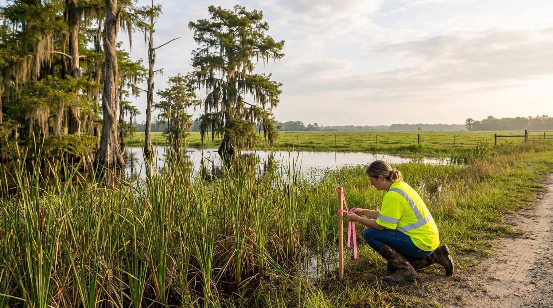
Generally, an area must show all three to be classified as a wetland. The boundaries are then flagged in the field and located by a surveyor so they can be placed accurately on the site plan. Pairing the delineation with a topographic survey is especially useful in Acadiana, where a few tenths of a foot of elevation can separate an upland area from a wetland.
Jurisdictional Determinations
Not every wetland is federally regulated. After a delineation, the Corps can issue a jurisdictional determination stating which features fall under Clean Water Act authority. The U.S. Supreme Court's 2023 decision in Sackett v. EPA narrowed federal jurisdiction to wetlands with a continuous surface connection to other regulated waters, which has changed the answer on some isolated wetlands. Because this area of law continues to evolve, the determination should come from the Corps itself rather than from assumptions about how a feature will be treated.
Section 404 Permits: Nationwide vs. Individual
If a project will place fill in jurisdictional wetlands, the Corps of Engineers New Orleans District must authorize it under Section 404. There are two main paths: a Nationwide Permit for activities with minimal impact, or an Individual Permit for larger or more complex impacts. Which path a project takes has a major effect on schedule and cost.
Nationwide Permits
Nationwide Permits are pre-approved general authorizations for common activities. Two of the most relevant for land development are Nationwide Permit 29 for residential developments and Nationwide Permit 39 for commercial and institutional developments. Both generally cap the loss of non-tidal waters at one-half acre and require a pre-construction notification to the Corps. Once a complete notification is submitted, the Corps typically has 45 days to respond. Regional conditions set by the New Orleans District also apply.
Individual Permits
Projects that exceed Nationwide Permit thresholds need an Individual Permit, which includes a public notice and comment period, an alternatives analysis showing impacts were avoided and minimized, and coordination with other state and federal agencies. Individual Permits commonly take many months and can stretch beyond a year on contested or complex sites.
This is where site design and environmental permitting meet. A subdivision or commercial layout that shifts a detention pond, a road, or a few lots to keep wetland impacts under a half acre can turn a year-long Individual Permit into a Nationwide Permit verification. Good civil engineering treats the delineation line as a design constraint from the first concept sketch, not as a problem to solve after the plan is drawn.
Compensatory Mitigation and Other Agency Reviews
When a Section 404 permit authorizes unavoidable wetland impacts, the Corps usually requires compensatory mitigation to offset the loss. In Louisiana, that is most often satisfied by purchasing credits from an approved mitigation bank that serves the project's watershed. Mitigation credits are a real budget line and should be priced during feasibility, not discovered after closing.
The amount of mitigation required depends on the acreage and quality of the wetlands affected, so two projects with the same impact acreage can carry very different mitigation costs. Credit availability also varies by watershed, which is another reason to ask the question early.
Endangered Species and Cultural Resources
A federal permit brings additional reviews with it. Under Section 7 of the Endangered Species Act, the Corps coordinates with the U.S. Fish and Wildlife Service when a project may affect listed species or critical habitat. Under Section 106 of the National Historic Preservation Act, the Corps considers effects on historic and archaeological sites with input from the Louisiana State Historic Preservation Office. Most suburban development sites clear these reviews without issue, but they are part of the process and can add time if concerns are raised.
Stormwater During Construction
Separate from wetlands, any site disturbing one acre or more needs coverage under LDEQ's LPDES construction stormwater general permit and a SWPPP that describes erosion and sediment controls, inspections, and stabilization. Larger sites submit a Notice of Intent to LDEQ before construction begins. This requirement applies even to sites with no wetlands at all.
How to Avoid Environmental Permitting Delays in Lafayette Parish
The most effective way to avoid environmental permitting delays in Lafayette Parish is to investigate before you buy. A preliminary environmental review, wetland delineation, and survey during the due diligence period will tell you what permits are needed, how long they will likely take, and whether the property can support your intended use at the price you are paying.
Practical steps for developers and property owners in Lafayette, Scott, Carencro, and New Iberia include:
- Write environmental contingencies into the purchase agreement so you have time to complete a delineation before closing.
- Check public resources early, such as the USFWS National Wetlands Inventory and USDA soil survey maps, as a screening tool. They are not a substitute for a field delineation, but they flag likely issues.
- Design around wetlands wherever possible, using them as open space or buffers instead of filling them.
- Coordinate drainage design with environmental constraints, since detention ponds and outfall ditches often sit at the same low points where wetlands form.
- Build permit timelines into the project schedule and financing, especially if an Individual Permit is possible.
Hensgens Trahan Engineering Consulting (HTEC) helps clients across Acadiana fold environmental permitting into due diligence, site design, and agency approvals, so the permit strategy and the engineering plan are developed together. You can see the range of developments we have supported on our projects page.
If you are evaluating a piece of land or planning a development in South Louisiana, contact HTEC or call (337) 443-0920 to talk through what permits your site is likely to need.
Frequently Asked Questions
What environmental permits are needed for construction in Louisiana?
Most construction sites disturbing one acre or more need LPDES construction stormwater coverage from LDEQ and a SWPPP. If the project fills jurisdictional wetlands or waterways, it also needs a Section 404 permit from the U.S. Army Corps of Engineers and a Section 401 water quality certification from LDEQ. Projects in the Louisiana Coastal Zone may need a Coastal Use Permit, and work in a FEMA flood zone needs a local floodplain permit.
How do I know if my property has wetlands in Lafayette Parish?
Public maps like the National Wetlands Inventory and USDA soil surveys can show whether wetlands are likely, but the only reliable answer is a field wetland delineation by a qualified professional. The delineation evaluates soils, vegetation, and hydrology, and the Corps of Engineers can then issue a jurisdictional determination confirming which areas are federally regulated.
How long does a Corps of Engineers wetland permit take in Louisiana?
A Nationwide Permit verification is the faster path; once the Corps receives a complete pre-construction notification, it typically has 45 days to respond. An Individual Permit involves public notice, agency coordination, and an alternatives analysis, and commonly takes many months, sometimes more than a year.
What should I know before developing a piece of land with wetlands?
Know where the wetland boundaries are, how much impact your plan would cause, and whether that impact fits a Nationwide Permit or requires an Individual Permit. Price compensatory mitigation credits early, build permit time into your schedule, and have your civil engineer design the site layout around wetlands wherever practical.